Education

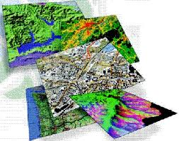
Geospatial Science is the umbrella program that includes the undergraduate and graduate educational components of Geographical Information Systems (GIS) and Remote Sensing.
These tools are extensively used in the sciences (including geology, marine, environmental, anthropology, etc.), the social sciences (including sociology, political science, urban planning), in the corporate and non-profit organizations, public health, security, and disaster response. The educational programs are design to give each student a firm foundation in Geospatial Science while allowing the flexibility to learn the tools needed for their chosen discipline.
The Geospatial Science programs support the GIS and Remote Sensing needs for a wide range of departments on the Stony Brook campus. The educational courses are distributed amoung many departments across campus with the core and advanced courses covered in the Geospatial Science (GSS) catalog course code. Some of these Geospatial Science (GSS) courses have equivalent or code shared courses offered by other Departments.
